Mountain Flying Fact Sheet
Mountain Weather
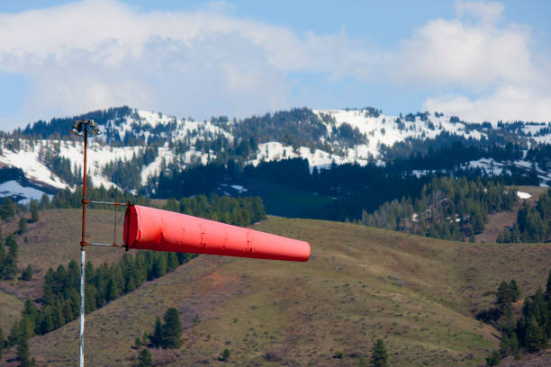
Mountain weather can be a challenge for any pilot, especially those without a lot of experience. The Colorado Pilots Association has these weather minimums recommendations for inexperienced pilots.
- Maximum Winds aloft at 9,000 and 12,000 feet less than 25 knots. Above 25 knots, turbulence, updrafts, and downdrafts may exceed aircraft limitations.
- Ceiling at least 2,000 feet above all ridges and passes along the route. This will help reduce the
exposure to the most hazardous turbulence in most cases. The ceiling minimum should be increased as the wind speed increases. - Visibility of at least 10 miles. Good visibility, well above the basic VFR requirements, is needed since you will generally be using pilotage for navigating. GPS is an excellent tool, but there are times when picking out a particular pass or valley will need to be done visually. Good visibility is the only way to be able to do that safely.
- Be aware of mountain waves. During a mountain wave event, there are strong up and down drafts downwind from the ridges. The downdrafts in even moderate mountain waves exceed 1,000 feet per minute, making it difficult or impossible to cross the ridge. Rotors are caused by the wind shear and rotating moment underneath the crest of a mountain wave. The rotors will cause severe or greater turbulence and must be avoided.
Density Altitude
Failure to take density altitude into consideration has led many pilots into situations their aircraft couldn’t handle. It is imperative that you understand how your aircraft performance is affected by density altitude. Even in the early evening, density altitude can be quite high and can present problems if you are not properly trained and prepared. Keep in mind the following:
- True Airspeed increases. True Airspeed is approximately 2% higher than Indicated Airspeed for every thousand feet of altitude.
- Power decreases. Normally aspirated engines put out less horsepower than at sea level (power loss per thousand feet).
- Leaning for take off. At sea level or the low levels of the Midwest, takeoffs with full rich mixture are required. However, at higher density altitudes, even those found at airports along the Front Range of the Rockies from New Mexico to Wyoming, leaning for takeoff is the only way to get the expected performance from a normally aspirated engine.
Planning Tools
Planning a mountain flight involves finding points in space, not predefined intersections. You are looking for terrain features, such as passes and drainages. Using GPS waypoints in conjunction with an electronic app on your tablet or smartphone, is a good way to maintain situational awareness and avoid getting lost in unfamiliar terrain.
- Some states produce tools to help pilots navigate their mountains safely. One example is produced by the Colorado Aeronautical
Division and shows all of the Automated Weather Observing Systems (locations in the state, including those on mountain ridges. - Webcams are also useful for a real time look at the weather along your route. Airportview.net is one place to go for cameras located at airports. Most state departments of transportation also have webcams that will give you a real time look weather in places you may be operating.
- Many of us are now viewing the radar image on our iPad apps while in flight. However, radar and mountains don’t mix very well. For example, the Denver NEXRAD system can’t see anything below about FL230 over the central part of the state. You may not be seeing the complete picture because of these limitations.
What Gets Pilots in Trouble?
Mountainous terrain can be hazardous for GA pilots. Here are some of the ways pilots get in trouble in the mountains.
- Picking the wrong route has claimed many pilots who didn’t have local knowledge of issues that might be associated with some passes.
- Wishful Thinking. Hoping that bad weather will suddenly get better when we need it to has trapped many pilots. Consider landing or turning around if the weather does not cooperate.
- Poor Planning. Before descending into a mountain airport, look at what your options are for go arounds and takeoff routes.
- Box Canyon. Never fly up a canyon that you haven’t already flown down so that you know if there is room to turn around. NEVER try to out climb the terrain in ANY airplane.
Resources
- Pilot’s Handbook of Aeronautical Knowledge, Chapter 11: Aircraft Performance http://1.usa.gov/2nBxvNT
- NTSB Safety Alert: Mastering Mountain Flying http://1.usa.gov/2p2lot1
- Colorado Pilots Association www.coloradopilots.org
- “Rocky Mountain High: The Zen of Mountain Flying,” FAA Safety Briefing May/June 2012 https://go.usa.gov/xXBZq